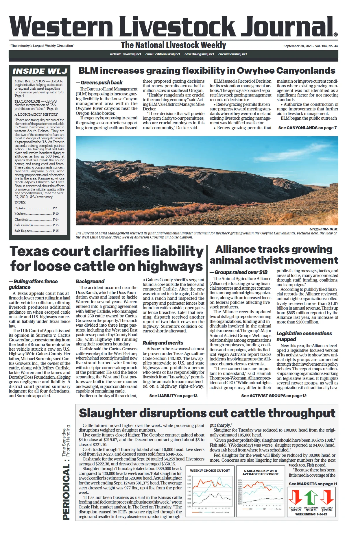
The Bureau of Land Management (BLM) is proposing to increase grazing flexibility in the Louse Canyon management area within the Owyhee River canyons near the Oregon-Idaho border.
The agency is proposing to extend the grazing season to better support long-term grazing health and issued three proposed grazing decisions that renew permits across half a million acres in southeast Oregon.
“Healthy rangelands are crucial to the ranching economy,” said Acting BLM Vale District Manager Mike Decker. “These decisions that will provide long-term clarity to our permittees,
who are crucial employers in this rural community.”
BLM issued a Record of Decision for its restoration management actions. The agency also issued separate livestock grazing management records of decision to:
• Renew grazing permits that ensure progress toward meeting standards where they were not met and existing livestock grazing management was identified as a factor.
• Renew grazing permits that maintain or improve current conditions where existing grazing management was not identified as a significant factor for not meeting standards.
• Authorize the construction of range improvements that further aid in livestock management.
BLM began the public outreach process in 2016 and submitted a Notice of Intent to prepare an Environmental Impact Statement (EIS) in 2019. The agency’s final EIS was released in late August.
Plan’s preferred alternative
The Louse Canyon Geographical Management Area (LCGMA) comprises Ambrose Maher, Anderson, Campbell, Louse Canyon Community and Star Valley Community allotments in the southeastern corner of Malheur County, OR, and the Little Owyhee and Quinn River allotments in the northeastern corner of Humboldt County, NV. The LCGMA occupies nearly 540,000 acres of public land.
BLM’s preferred alternative, Alternative A, includes restoration actions, livestock administration acts and grazing permit renewals. Restoration and management actions were proposed to address standards that were not met due to factors other than existing livestock grazing, as well as to facilitate improved ecological conditions after grazing management changes are made and meet greater sage-grouse plan directions.
The preferred alternative would allow grazing across 529,175 acres with up to 36,483 permitted animal unit months (AUMs). This is an increase from the no action alternative, which would authorize grazing across 526,513 acres and the average use of 27,047 AUMs.
“The strategy is supported by investments in infrastructure and is designed to be responsive to changing ecological conditions, ensuring both ecological and operational goals are met,” the plan read. “In summary, Alternative A represents a robust, adaptive management framework that leverages restoration, flexible grazing, and infrastructure improvements to achieve long-term rangeland health and habitat objectives.”
Changes to the agency’s preferred alternative included increasing the total AUMs by about 500 to prevent any net AUM loss for permittees, decreasing the acres of sagebrush thinning, and maximizing future management flexibility by including the full suite of water developments analyzed in the final EIS.
Rangeland restoration and management actions include sagebrush habitat restoration, riparian/meadow habitat restoration, and range improvements that facilitate livestock administrative actions such as fence construction, water developments, livestock crossing routes and livestock range improvement modifications.
As part of the livestock administration actions, BLM will relocate livestock water troughs from riparian areas to upland sites. Fence construction and water developments such as new wells, pipelines, storage tanks and troughs will also be implemented to minimize impacts on sensitive resources. Temporary livestock crossing permits will be issued to allow movement of livestock between permitted areas, with strict terms to minimize impacts on sage grouse and other sensitive resources.
Alternative A would allow the installation of either 26.9 miles of fence, 334 miles of trailing routes and water developments; or 143 miles of pipeline, 70 troughs, 10 water wells and nine storage tanks. The no action alternative would not include any action.
Grazing permits are issued with flexibility to adjust the season of use and livestock numbers in response to precipitation, restoration progress and resource objectives. Active use AUMs are set based on historic averages, utilization limits and trend data. Additional AUMs may be activated after range improvements are completed and resource objectives are met.
A 15-day protest period on the FEIS was authorized beginning Aug. 21.
Western Watersheds Project formally protested the proposed decision, claiming that cattle have overgrazed and damaged riparian areas in the area since the ’90s.
“Livestock interests have been trying to expand high-impact cattle grazing into intact sagebrush in sensitive sage grouse and pygmy rabbit habitat in this part of the Owyhee for decades,” said Adam Bronstein, Oregon director with Western Watersheds Project. “Instead of lessening the impacts, BLM wants to spread out the problem and sacrifice the remaining wildlands across this spectacular and biodiverse landscape.” — Anna Miller Fortozo, WLJ managing editor