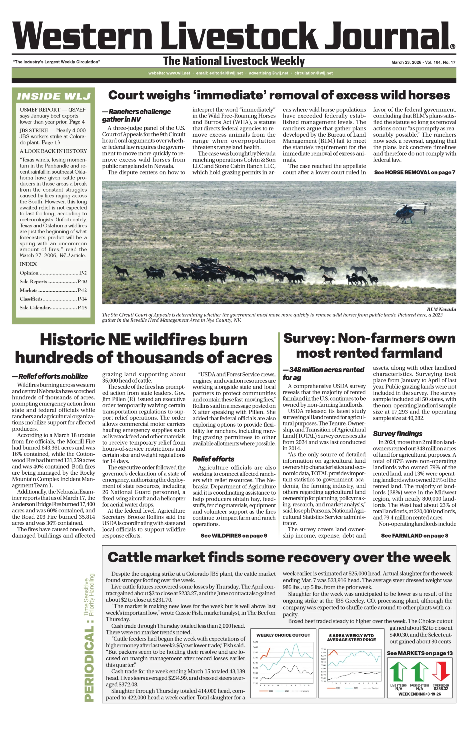
Nationwide
The trend of the past few weeks toward generally increased precipitation across the Contiguous 48 states continued this week, with several sizeable swaths of heavy precipitation recorded and broad coverage of near or above normal amounts.

The heaviest amounts fell from the Cascades westward to the Pacific Ocean, in addition to southwestern Oregon and northwestern California. Amounts exceeded 3 inches through almost this entire region, with amounts of 5 inches to locally 1 foot observed in portions of the Cascades and immediate Pacific Coastline, especially where orographically enhanced. Several other large areas recorded at least an inch and locally up to 5 inches, including most of the northern Intermountain West, a swath from the southern High Plains through the central Great Plains and the middle and upper Mississippi Valley, much of the lower Mississippi Valley, the lower Ohio and Tennessee Valleys, the upper Southeast, much of the Virginia Tidewater and eastern North Carolina, and parts of the southern and central Appalachians. Numerous locations in the Lower Mississippi Valley and northwestern Alabama reported 3-5 inches of rain, as did a swath in north-central Kentucky and isolated spots in western Tennessee, northwestern Texas, eastern Oklahoma, southwestern Kansas, and western Iowa.
The broad coverage of moderate to heavy precipitation prompted sizeable areas of improvement in this week’s Drought Monitor. The pattern of increased precipitation has yet to materialize in the Northeast, however, where record and near-record low precipitation amounts have been observed over the past few months, and continued dryness last week allowed conditions to continue to deteriorate. Little or no precipitation was also recorded across the southern reaches of South Carolina and Georgia, the Florida Peninsula, southern Texas, most of the central and northern Plains, and the southwestern quarter of the country, with patches of deterioration noted in these areas as well this week.
The West
Heavy to excessive precipitation in northwestern California and the Northwest from the Cascades to the Pacific Coast induced widespread 1-category improvement in these areas.

Totals exceeding 3 inches were almost ubiquitous, and amounts of 5 to locally 12 inches were common in the Cascades and near the immediate coast. This amounted to peeling back D0 and D1 to the west. In Oregon, streamflows have finally begun to respond to the increased precipitation. Other areas of improvement were introduced where there was spottier moderate to heavy rain in parts of eastern Oregon, northern Idaho, and westernmost Montana. Moderate to heavy precipitation (locally up to 3 inches) also doused southeastern New Mexico adjacent to the heavy rains in western Texas, with similar 1-category improvements introduced in areas with over 1.5 inches of precipitation.
Elsewhere, only scattered light precipitation was reported, and dryness and drought were primarily unchanged. Some deterioration was noted in west-central Montana (to D1), while a significant swath of eastern Montana slid into extreme drought (D3).
The High Plains
Moderate to heavy precipitation was widespread across the southern and eastern reaches of the High Plains Region, and moderate amounts were observed in some of the higher elevations of Wyoming and central Colorado, as well as over northern North Dakota.

Elsewhere, only a few tenths of an inch, at most, was measured. In the areas of heaviest precipitation (1.5 to approaching 3.0 inches), improvement was introduced. This included significant parts of Kansas, southeastern Colorado, eastern sections of Nebraska and South Dakota, and a relatively small area in southeastern North Dakota. In the remainder of the region, under a regime of light to moderate precipitation at best, dryness and drought assessments were unchanged.
The Midwest
Heavy rain again affected the lower Ohio Valley and most of Kentucky, which continued to scour drought and abnormal dryness out of these areas.

Moderate to heavy rain also fell on central and southern Wisconsin, most of central and southern Minnesota, the western half of Iowa, and the western tier of Missouri. Amounts exceeded an inch through almost all of these areas, with 2-3 inches soaking a few areas. As a result, there were sizeable areas with improvement across central and southern sections of Wisconsin and Minnesota and along the western tier of the Midwest Region.
Elsewhere, totals between 0.5 and 1.0 inch were widespread, with only portions of Michigan and northeastern Ohio reporting under one-half inch. There were scattered areas of improvement throughout this area of moderate precipitation, with deterioration limited to small areas where only a few tenths of an inch of rain were reported.
The South
Like the Southeastern Region, the South Region experienced highly variable rainfall this past week, although more areas experienced significant rainfall and improved conditions than dryness and deterioration.

The latter was confined to central and southern Texas, where little or no rain fell, expanding D0 through much of Deep South Texas and prompting the introduction of D1 in a patch near the lower Rio Grande River. Farther north, moderate to heavy precipitation prevailed, especially across western Teas, much of Oklahoma, portions of Louisiana, Mississippi, and western Tennessee. A large part of these areas saw a 1-category improvement, nearly eliminating severe drought (D2) in western Arkansas, eastern Oklahoma, and adjacent Texas, and also decreasing D1 coverage substantially across the northern and eastern tiers of the Region. — UNL Drought Monitor